Myanmar's Liquid Lifelines: The Profound Significance of Its Major Rivers

512
By Hsu
Myanmar, a country blessed with natural beauty and abundant resources, is home to some of the most significant river systems in Southeast Asia. These rivers—Ayeyarwady, Chindwin, Sittaung, and Thanlwin (Salween)—not only define the nation’s landscape but also shape its history, culture, economy, and daily life. For the international community to truly understand Myanmar, it is imperative to recognize the unparalleled importance of these natural wonders to its people.
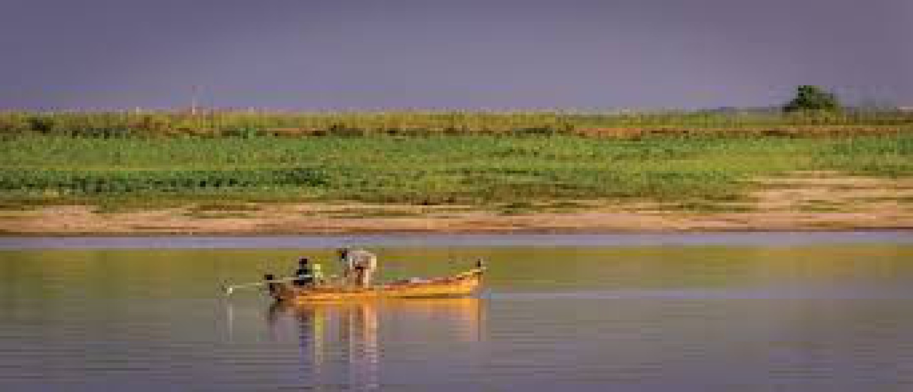
At the heart of Myanmar's riverine network is the Ayeyarwady River. Stretching approximately 2,170 kilometers, it is the longest river entirely within Myanmar's borders and arguably the most vital. Originating from the confluence of the N'mai and Mali rivers in Kachin State, it flows south, dissecting the country and emptying into the Andaman Sea via a vast delta. Historically, the Ayeyarwady has been the axis of Myanmar civilization. Ancient kingdoms, including the mighty Bagan Empire, flourished along its banks, relying on its fertile alluvial plains for agriculture. It served as a primary route for trade and communication, connecting diverse regions and facilitating the rise of powerful states. Even today, the river is the primary commercial waterway, with goods and passengers traveling from the far north to the delta regions. Its rich fisheries provide a critical food source and livelihood for countless communities, while its waters irrigate vast rice paddies, contributing significantly to the nation's food security and export earnings. The Ayeyarwady's cultural significance is equally profound; it is often referred to as the "Spiritual River of Myanmar People," with numerous traditions, beliefs, and daily routines intrinsically linked to its flow.
The Chindwin River, the Ayeyarwady's largest tributary, holds immense importance, particularly for the western regions of Myanmar. Originating in the broad Hukawng Valley of Kachin State, it flows south to join the Ayeyarwady near Myingyan. The Chindwin basin is characterized by dense forests and mountain ranges, with limited accessibility having historically preserved much of its natural beauty. Socially, the Chindwin has influenced the culture of western Myanmar, with some Sino-Tibetan languages believed to have originated from its valley areas. Its historical significance is particularly notable during World War II, when it served as a formidable natural barrier for both Japanese and Allied forces. The river continues to be a vital artery for transportation, especially for timber, and its wetlands support diverse livelihoods, though concerns about water quality due to mining activities have emerged in recent years.
The Salween River (Thanlwin), flowing for approximately 3,289 kilometers from the Tibetan Plateau, passes through China and Myanmar before forming a section of the Myanmar-Thailand border and ultimately draining into the Andaman Sea. The Thanlwin flows through remote and ecologically diverse regions, including a UNESCO World Heritage Site in China. Its relatively untouched nature means it supports unique ecosystems and a rich biodiversity. For the millions of people living along its banks, particularly ethnic minority groups, the Thanlwin is a source of sustenance, providing water for agriculture and supporting abundant fisheries.
For ethnic minority groups such as the Karen and Pa’O, the river is integral to their spiritual and economic lives. The river’s basin is home to rare ecosystems and traditional agricultural practices, from mountain farming to bamboo rafting. In recent decades, debates over hydropower projects along the Thanlwin have underscored the need to balance development with environmental conservation and the rights of indigenous communities.
Finally, the Sittang River, situated in south-central Myanmar's Bago Division, flows southward from the Shan Hills to the Gulf of Martaban. While not as extensively navigable as the Ayeyarwady, due to a strong tidal bore near its mouth, it remains important for local transportation, particularly for floating timber south for export. The Sittang River valley, despite lacking the agricultural richness of the Ayeyarwady basin, hosts major road and rail links connecting Yangon and Mandalay. Historically, the Sittang holds a poignant place in Myanmar's memory, particularly for its role in the Burma campaign during World War II. The Battle of Sittang Bridge in February 1942, where the bridge was prematurely blown to hinder advancing Japanese forces, had devastating consequences for the retreating British Indian Army, becoming a critical turning point in the campaign and sealing the fate of Rangoon.
In essence, Myanmar's major rivers – the Ayeyarwady, Chindwin, Salween, and Sittang – are far more than geographical features. They are the arteries of a nation, shaping its past, fueling its present, and holding the key to its future. They are historical highways, economic lifelines, and the very foundation of Myanmar people's social and cultural identity. For the international community, understanding the profound and multifaceted importance of these rivers is crucial to appreciating Myanmar's unique heritage, challenges, and aspirations. Their health and sustainable management are not just environmental concerns but deeply intertwined with the well-being and prosperity of millions.
Reference:
• Britannica. (n.d.). Myanmar. https://www.britannica.com/place/Myanmar
• Wikipedia. (n.d.). Geography of Myanmar. https://en.wikipedia.org/wiki/Geography_of_Myanmar
• Wikipedia. (n.d.). List of rivers of Myanmar. https://en.wikipedia.org/wiki/List_of_rivers_of_Myanmar
===============